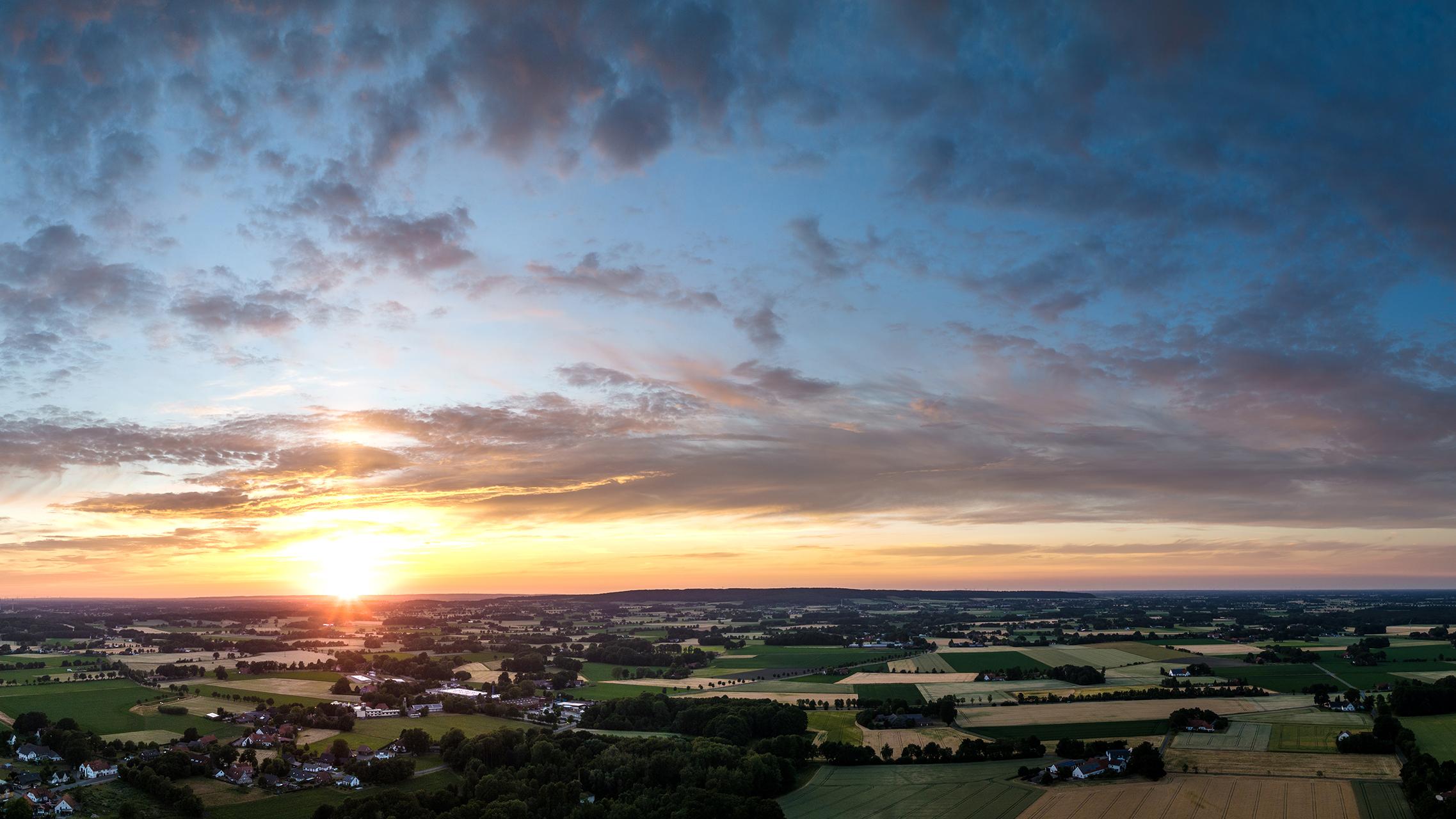


Stemwede
Das Flachmoor "Rethlage"
In the district of Destel there is a small fen (low moor) consisting of an elongated forest island with swamp and swamp forests, which is surrounded by a belt of predominantly wet and extensively used grassland. The area is still home to a large number of characteristic wet meadow species, including some highly endangered plant species on the NRW Red List (such as water verbena, marsh sturgeon, reed horseweed, bunchgrass, bladder sedge and many more)
The area was largely used for agriculture until the end of the 1970s. The land consolidation process carried out at this time led to the merging of the areas. Of the 43 plots in the core area, only two plots were still used as meadows at the beginning of the land consolidation process. On most of the remaining plots, attempts were made many years ago to establish poplar forests for agricultural use.
Today, the forest area consists of a diverse mosaic of forest and scrub communities. In addition to alder swamp forest stands, some of which are rich in sedge, and swamp scrub dominated by grey willow, the main species are bog birch and sand birch as well as ash and pedunculate oak.
The area is of great importance as a refugial habitat and is important as a stepping stone biotope for the spread and recolonization of suitable wetland sites. The nature reserve covers an area of approx. 42.83 hectares. This is roughly the size of 60 soccer pitches.